How do 3D models work?
Ca
Carolinegold
2
How do 3D models actually work?
I'm aware of two options:
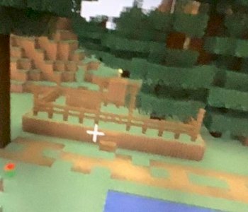
- as well as with pictures that the colors of the pixels are simply saved (you can imagine it like Minecraft)
-Positions from the corner points of polygons in a coordinate system are saved
The problem with these methods is that when you zoom in, you see the corners and edges.
Can you explain to me how to do what looks like a vector graphic?
Ad
Adamant
You do not have to save objects as polygon mesh, you can of course also describe simple geometric bodies using vectors.
Otherwise, simply a lot of small polygons (simply more data), or you have to describe the polygon margins functionally - Roderic has already referred to the splines here.


